Historical & Cultural Snapshot
Chile's history stretches back long before European contact, with the Mapuche people maintaining a distinct culture and fierce independence in the south for centuries. Spanish colonization began in the 1500s, and the country gained independence in 1818. In more recent history, Chile lived through the Pinochet dictatorship before transitioning back to democracy in 1990, a shift that still shapes its politics and national identity today. Modern Chile's economy runs on copper mining, agriculture, and fishing, with the narrow strip of the country touching nearly every climate zone on Earth.
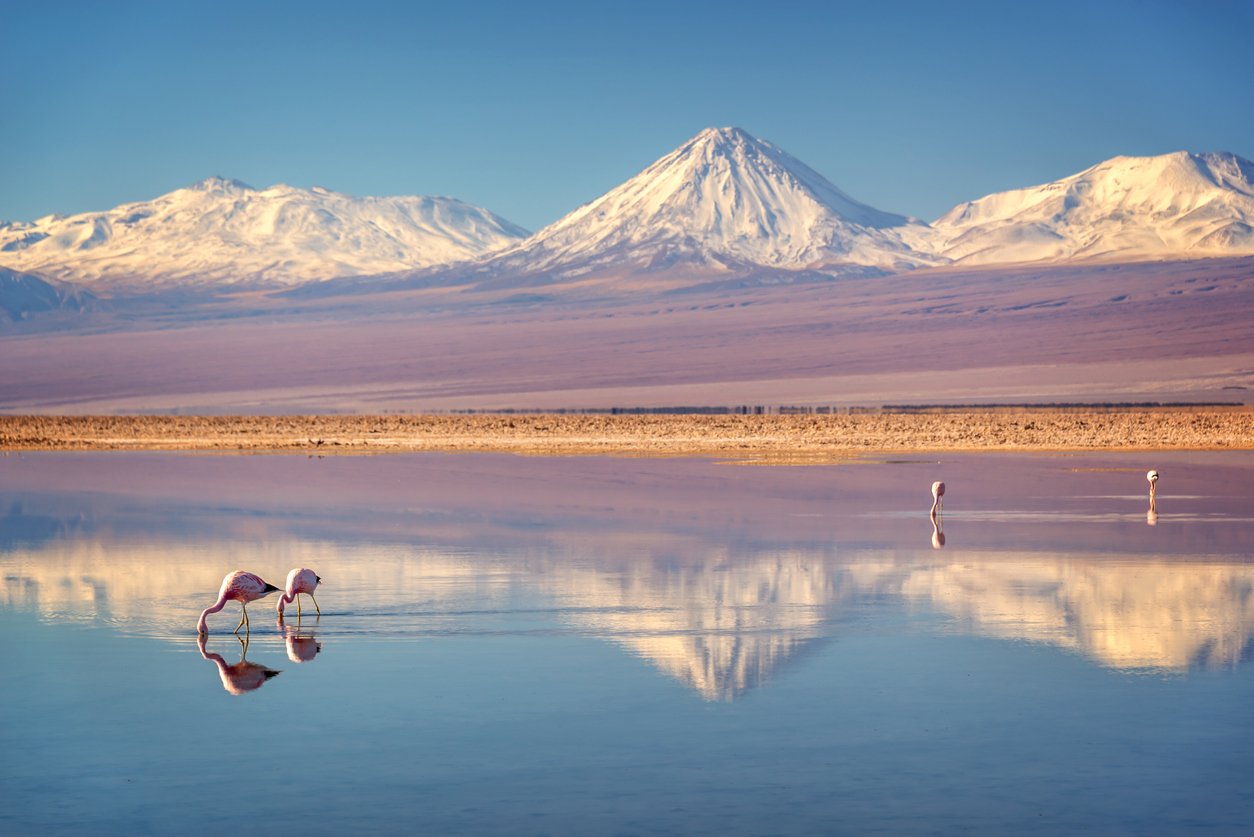
I was born in Chile, and this project is a chance to look at the landscape I come from through a scientific lens — understanding the geology and geography behind the country I've always known personally.