Weathering & Erosion
From landslides in the south to a river carving through the driest desert on Earth, Chile's landscape is constantly being reshaped.
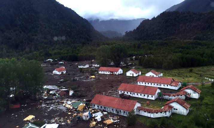
Living With Unstable Ground
Chile experiences both carbonation and hydrolysis weathering in its humid southern regions, while the hyper-arid north undergoes mostly mechanical and salt-driven weathering instead. Steep Andean slopes make the country especially prone to mass wasting.
On December 16, 2017, an intense rockslide above Villa Santa Lucía sent 7 million cubic meters of rock and debris down a glacier, triggering a mudflow that destroyed half the town and killed 22 people (Sepúlveda et al., 2020). Since then, Chile's geological survey (Sernageomin) has expanded hazard mapping in vulnerable mountain communities.
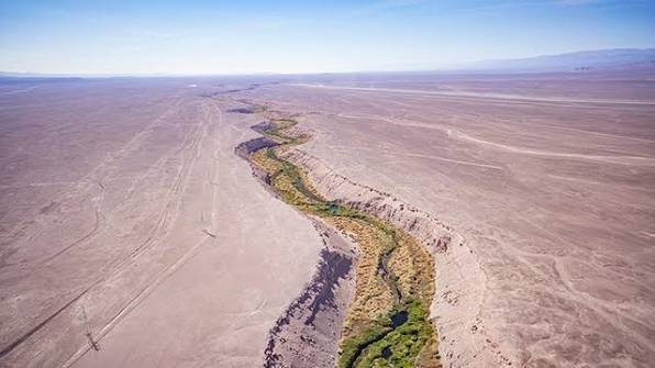
The Loa & the Baker
The Loa River, Chile's longest at 440 km, is a meandering, low-discharge river cutting a distinctive U-shaped path through the Atacama Desert. It's the lifeline for the city of Calama and the Chuquicamata copper mine, but decades of mining have taken a toll on its water quality (Grokipedia, 2025).
The Baker River, by contrast, is Chile's highest-discharge river by far (875 m³/s), a braided glacial river in Patagonia known for its turquoise color. A major hydroelectric dam project on the Baker was scrapped in 2014 after years of environmental and community opposition.
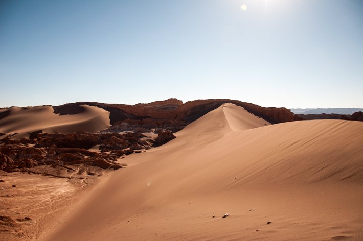
Wind Across the Atacama
The Atacama's extreme aridity and near-constant winds drive significant wind erosion across the desert, actively shaping dune fields in parts of the region. Chile's forestry and environmental agency, CONAF, works on dryland and erosion management as part of the country's broader desertification strategy.
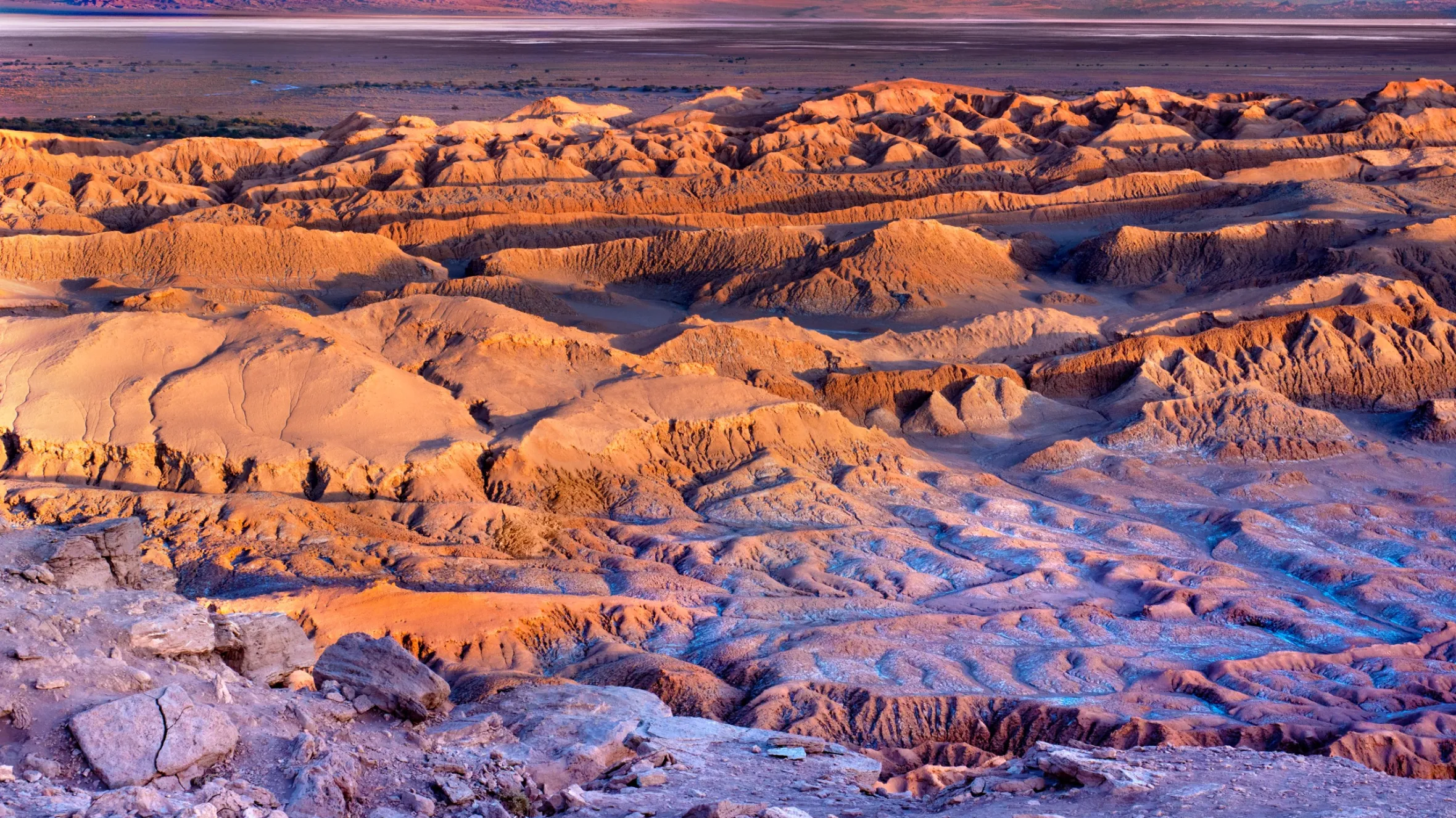
The Atacama Desert
The Atacama stretches nearly 1,600 km along northern Chile — the driest non-polar desert on Earth, with parts receiving under 1mm of rain a year. It includes hamada (bare rock) terrain, reg (gravel plain) landscapes, smaller erg (dune) fields, and unique salt-flat basins (Chilean Endemics, n.d.).
Desertification is a real and growing problem: CONAF reports roughly 23% of Chile's entire territory is at high risk, with the Coquimbo region hit hardest as the desert's edge creeps steadily south (Marca Chile, 2025).
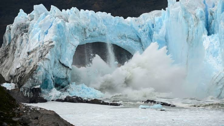
The Patagonian Ice Fields
Chile is home to the Northern and Southern Patagonian Ice Fields — together the largest expanse of ice in the Southern Hemisphere outside Antarctica. Both are retreating rapidly: glaciers like San Quintín have lost nearly 15% of their area since 1870 (NASA Earth Observatory, 2026).
This retreat directly affects river systems like the Baker, which is fed by icefield meltwater, and threatens long-term freshwater supply for Patagonian communities and ecosystems.
Loa vs. Baker: A Tale of Two Rivers
Average discharge in cubic meters per second (m³/s) — a 360x difference between desert and glacier-fed rivers