Atmosphere & Climate
One country, seven Köppen climate zones — from the driest desert on Earth to subpolar tundra, all within the same 4,300 km.
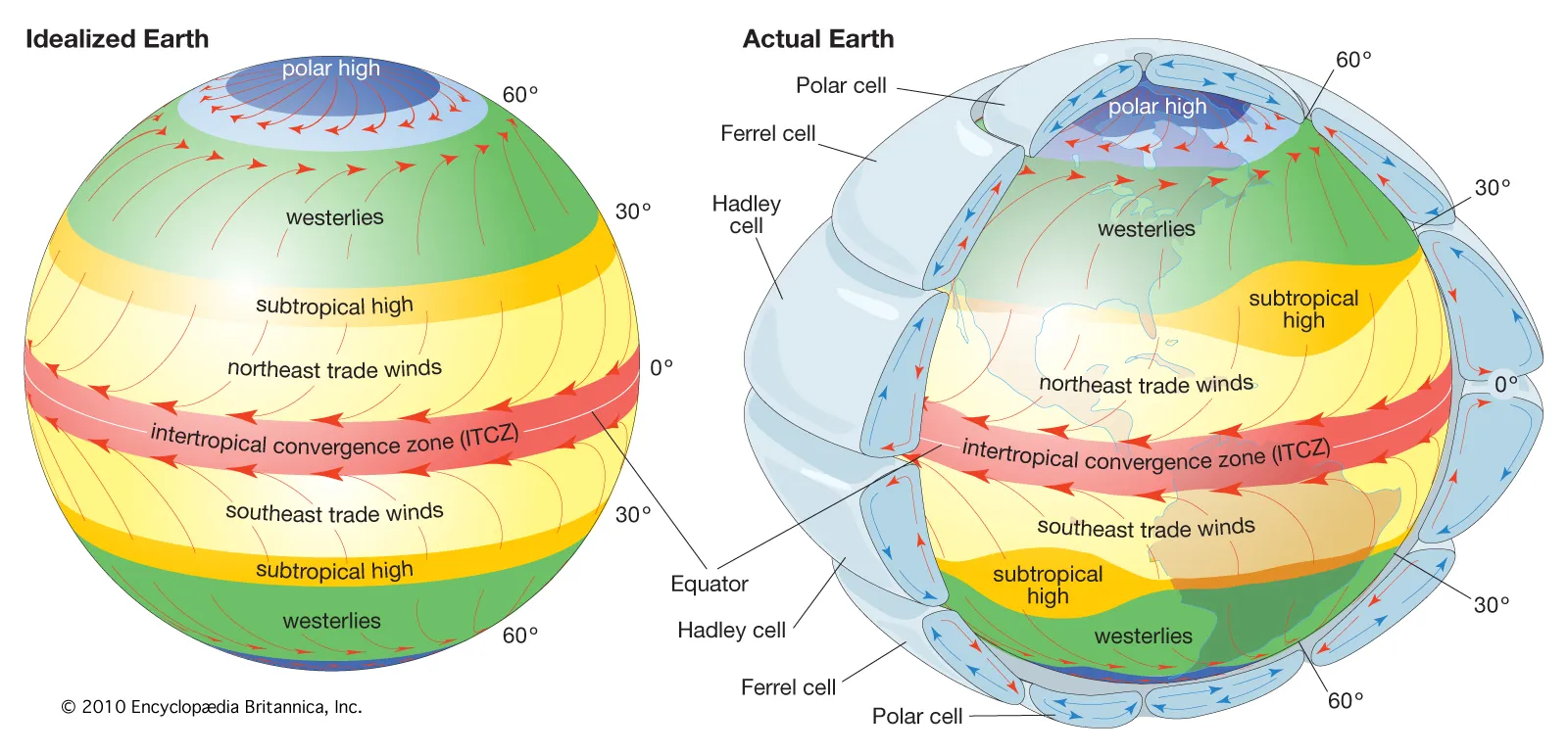
Crossing Three Wind Belts
Chile's extreme length puts it under multiple global circulation zones at once. The north sits beneath the subtropical high-pressure belt — the same descending, dry air mass behind deserts worldwide — explaining the Atacama's extremity.
Central and southern Chile fall under the westerlies, the prevailing wind belt between 30-60°S, which brings the moisture behind the country's Mediterranean and rainy oceanic climates further south.
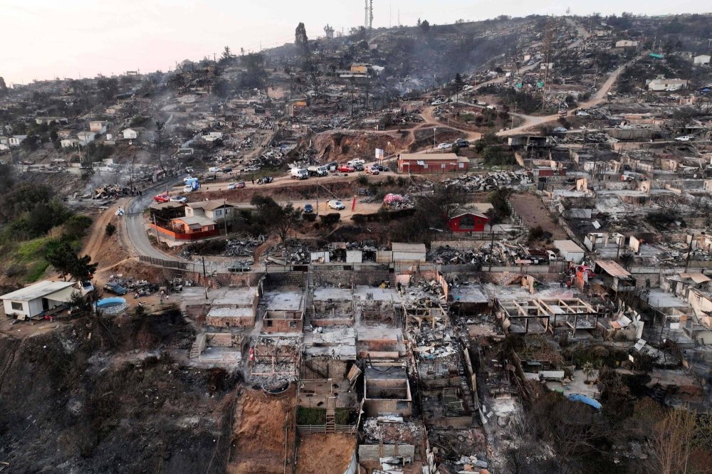
Chile's Deadliest Disaster: Wildfire
Chile doesn't experience hurricanes or tornadoes, but wildfires are a severe and growing threat. In February 2024, wildfires around Valparaíso and Viña del Mar killed 137 people — the deadliest wildfire disaster in Chile's history.
Driven by an extreme heatwave, strong winds, and a years-long megadrought, it became the fifth-deadliest wildfire globally since 1900.
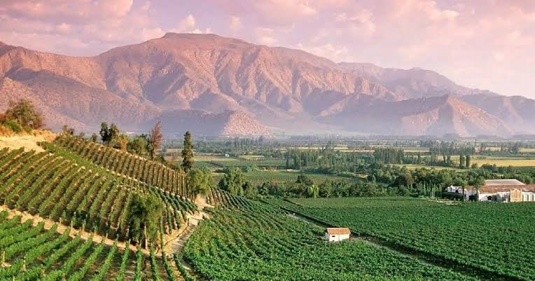
Seven Köppen Zones in One Country
Chile hosts at least seven Köppen climate types: cold desert (BWk) in the far north, Mediterranean (Csa/Csb) around Santiago, temperate oceanic (Cfb) in the south, subpolar oceanic (Cfc) in the far south, and tundra/ice cap (ET/EF) across the high Andes and Patagonian ice fields.
A full climate map is included below.
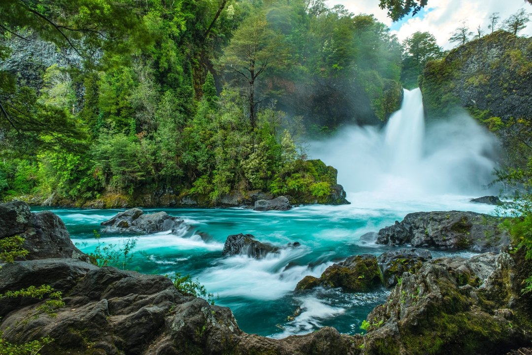
Desert to Rainforest to Steppe
Four major biomes stretch across Chile: the Atacama Desert, the Chilean Matorral (Mediterranean scrub) in the center, the Valdivian temperate rainforest in the south-central region, and Magellanic subpolar forest and Patagonian steppe in the far south.
Rather than dividing the country, this extreme geographic range has shaped a shared national identity built around adapting to dramatically different environments.
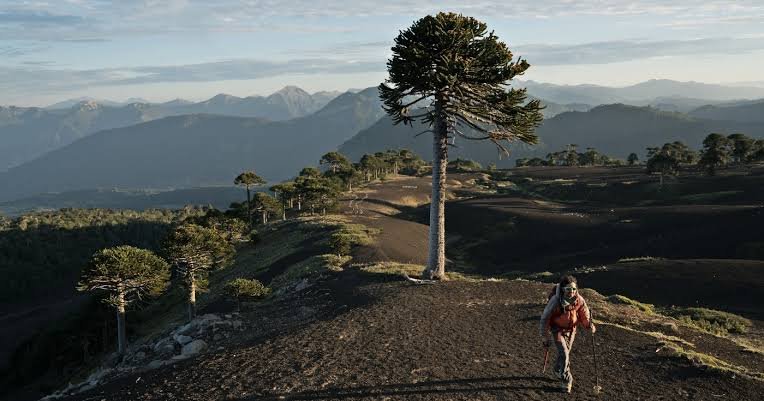
The Monkey Puzzle Tree
Araucaria araucana, Chile's national tree, is sacred to the Mapuche people, whose seeds (piñones) are an important traditional food source, roasted and eaten like large pine nuts.
Litre (Lithraea caustica), a common native shrub, is poisonous to the touch — its sap causes painful, blistering contact dermatitis similar to poison ivy.
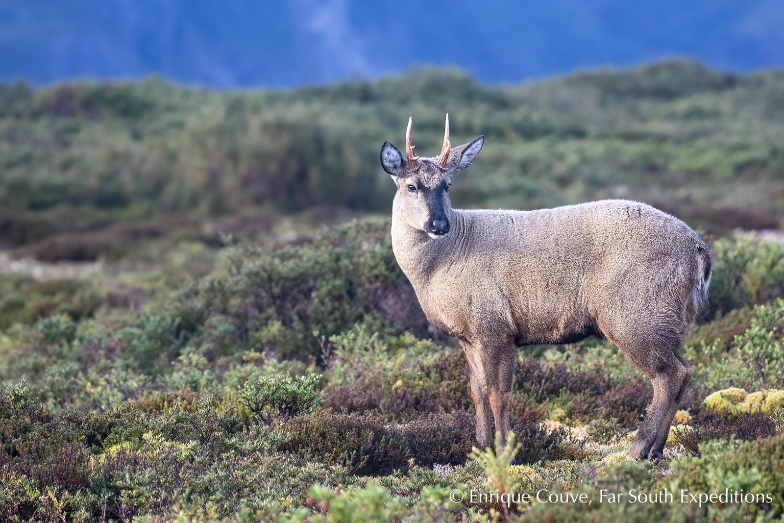
From the Huemul to a Dangerous Spider
The huemul, an endangered Andean deer, is Chile's national animal and appears on its coat of arms. The Andean condor, the national bird, has one of the longest wingspans of any bird on Earth.
Not all native species are so benign: the Chilean recluse spider is considered the most dangerous recluse species worldwide, with bites that can cause serious tissue damage.
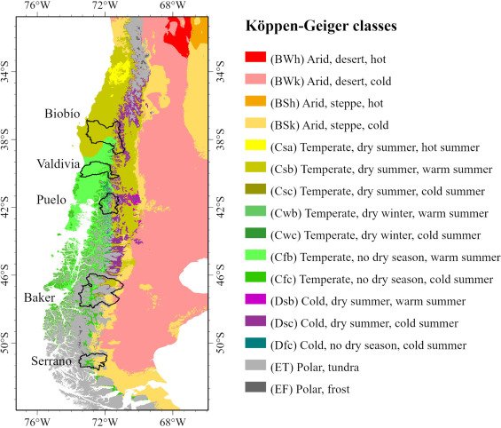
Köppen climate classification map of Chile, showing the transition from desert (north) to Mediterranean (center) to oceanic and polar tundra (south).
One Country, Wildly Different Rainfall
Average annual precipitation (mm) across three Chilean cities, north to south