Oceans & Coastlines
A 4,300 km ribbon of coast, from desert cliffs to Patagonian fjords — and the ocean currents, trade routes, and floods that shape life along it.
Rivers That Overflow
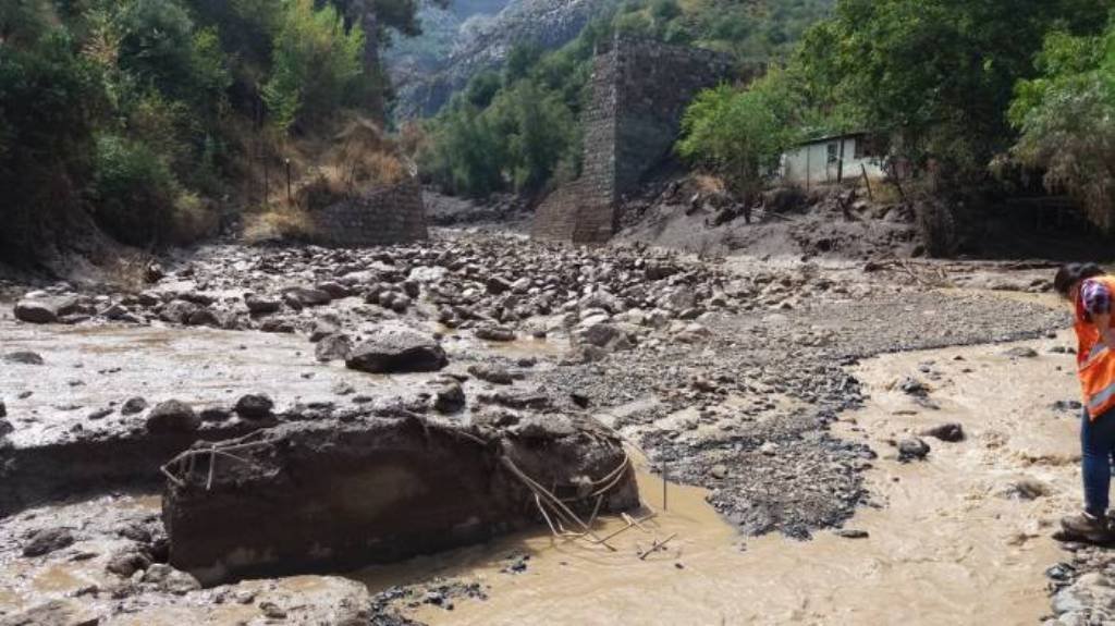
Flooding is a recurring problem in central Chile during heavy winter rains. In February 2017, flooding and landslides on the Maipo River — Santiago's main water source — cut off drinking water to over a million people and killed several residents.
In June 2023, the worst rainfall in 30 years hit central-southern Chile, affecting over 21,000 people. Chile's national disaster agency, SENAPRED, leads emergency response, and the government can declare a formal State of Catastrophe to unlock military resources and emergency powers.
Squeezed Between Mountains & Sea
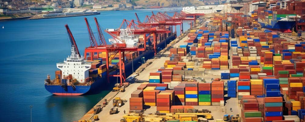
Chile's geography — wedged between the Andes and the Pacific — forces nearly all land trade with Argentina through a handful of high mountain passes, making cross-border routes geologically constrained and often weather-dependent.
China is by far Chile's largest trading partner, taking roughly 38-40% of exports (mostly copper) and supplying about 22-24% of imports. The U.S., Japan, South Korea, and Brazil round out the top five partners.
The Humboldt Current & Rapa Nui
The cold Humboldt Current flows north along Chile's coast from Antarctica, dramatically cooling coastal areas and suppressing rainfall — a major reason the Atacama Desert is so extremely dry.
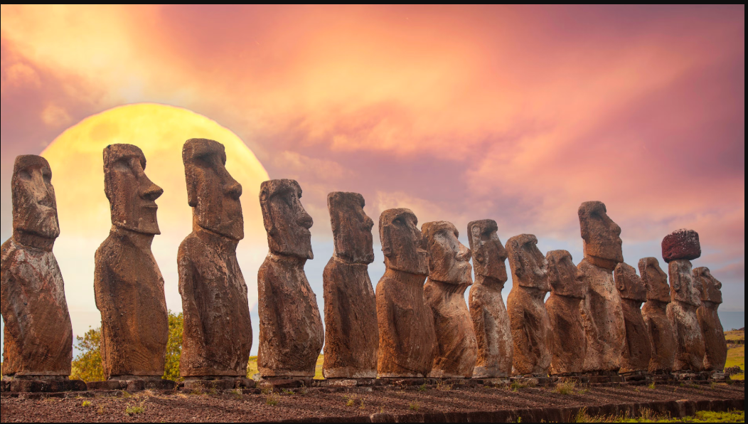
Chile also governs remote Pacific islands, most famously Easter Island (Rapa Nui), 3,700 km from the mainland and home to the iconic Moai statues, along with the Juan Fernández Archipelago, a UNESCO Biosphere Reserve rich in endemic species.
4,300 km of Contrasts
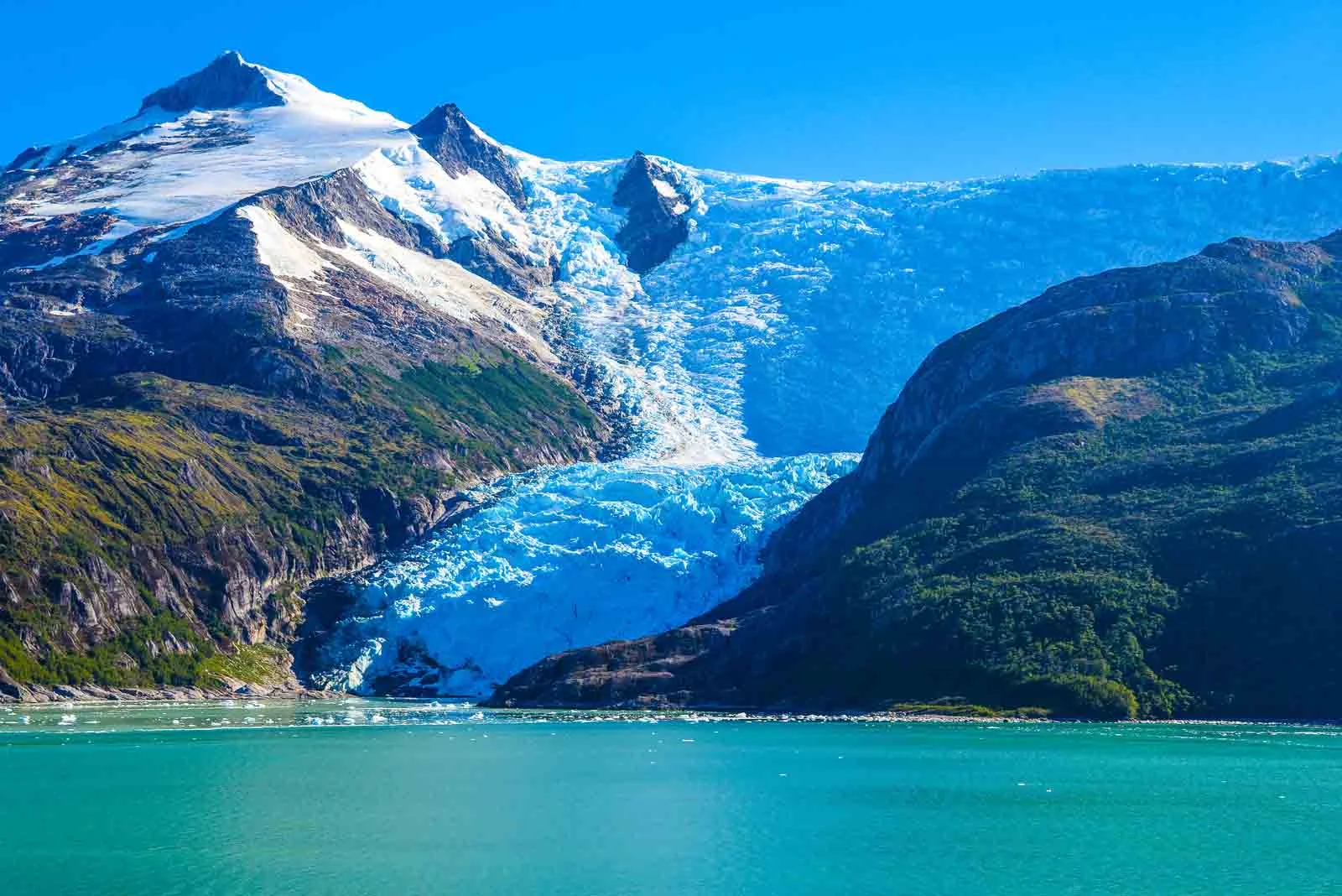
Chile's coastline is highly irregular. The north is dominated by steep rocky cliffs stretching over 1,000 km through the Atacama; the center mixes sandy beaches with rocky coves; and the south dissolves into a maze of glacially-carved fjords and channels reaching Cape Horn.
Including all southern fjords, the effective shoreline exceeds 84,000 km. This rugged southern coast has historically made navigation treacherous, but it also shaped a landscape now central to Patagonian tourism.
No Hurricanes, But Real Tsunamis
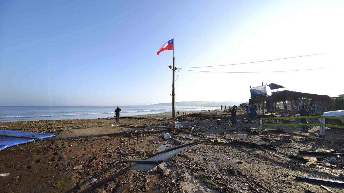
Chile never experiences hurricanes — its cold coastal waters, kept that way by the Humboldt Current, prevent the warm-water conditions hurricanes require to form. Tsunamis, however, are a serious and recurring threat, direct results of the same subduction zone covered in Week 3.
The 1960 Valdivia earthquake generated a 25-meter tsunami, and the 2010 Maule earthquake triggered another destructive one along the central coast.
Chile's Top Export Destinations
Share of total exports by country, 2023-2025